
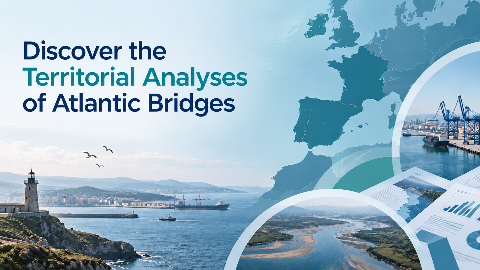
From understanding to action
Before deciding where we want to go, we first need to understand where we are.
Over the past months, the five Atlantic Bridges partners have been working on their Territorial Analyses. These studies look at five very different Atlantic territories, from major port-city environments to smaller coastal and regional areas, each with its own economic, social and environmental challenges.
The objective was not simply to collect data, but to build a clear picture of each territory and understand how the economic, environmental and social transitions interact locally. Now that all five analyses are complete, they provide a common knowledge base for the next steps of Atlantic Bridges: comparing experiences, identifying shared challenges and turning this work into a common strategy and concrete actions.
Reminder of the WP1 deliverables :
1.
Establish local and transnational governance structures.
2.
Analyse existing land-sea integration policies in partner territories.
3.
Exchange experiences and identify transferable good practices.
4.
Develop a joint strategic framework for sustainable coastal urban planning.
5.
Ensure transferability across the wider Atlantic Area
Five different territories, a common framework
The five Territorial Analyses do not all look the same, that was not the objective.
Each partner adapted the work to its own territorial reality, available data and local priorities. But they were built around a common framework: understanding the economic, social and environmental transitions shaping Atlantic coastal territories, and looking at how these transitions interact with ports, cities, mobility, governance and the blue economy.
This also means that the sources and approaches vary from one territory to another. Some analyses rely heavily on statistical data and planning documents, while others give more space to stakeholder interviews, local governance or lessons from previous European projects. In Les Sables d’Olonne, for example, the analysis combines strategic documents, local economic data and interviews with actors such as Port Olona. In Sligo, the study places strong emphasis on the harbour, waterfront regeneration and the network of local stakeholders involved in its future development.
A common methodology is therefore essential: it gives the experts from each partner a shared basis for comparing the five reports, identifying similarities and differences, and drawing conclusions that can be used at the scale of the Atlantic Bridges partnership. This shared framework makes the five analyses comparable without making them identical. And that is precisely what gives value to the exercise: each territory can keep its own specificities, while still contributing to a common Atlantic reading.
Five Atlantic territories under the microscope
The five analyses offer five very different ways of looking at the Atlantic coast. Different scales, different economies, different relationships with the sea, but also a number of challenges that often overlap.
Les Sables d’Olonne Agglomération : Managing a strong attractiveness
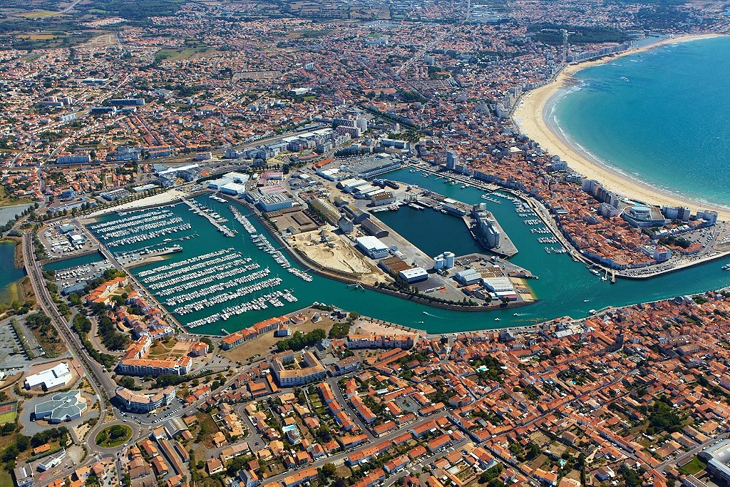
Les Sables d’Olonne is a fast-growing coastal territory where tourism, maritime industries, services and an internationally recognised nautical identity support a strong local economy. But this attractiveness also creates pressure on housing, land, mobility, water resources and natural environments. The analysis therefore focuses on a central question: how can the territory remain attractive, productive and liveable all year round while adapting to increasingly strong environmental constraints?
Le Havre : Transforming a major European port-city

Le Havre brings a very different scale to Atlantic Bridges. Its industrial-port zone includes nearly 1,200 companies and 32,000 jobs, while HAROPA is France’s leading container port and connects the Seine corridor to global maritime routes. Here, the transition is closely linked to industrial decarbonisation, port competitiveness, mobility and the transformation of former port areas. At the same time, the territory must deal with demographic decline, social inequalities and the environmental pressures created by major industrial and logistics activities.
Sligo : Rethinking the role of a smaller harbour

Sligo shows another side of the Atlantic port-city relationship. Its harbour is small, but strategically important for the north-west of Ireland and closely connected to the town centre and surrounding landscapes. One of the main opportunities identified in the analysis is to rethink the harbour as a multifunctional waterfront, combining maritime activity, tourism, recreation, biodiversity, cultural heritage and climate adaptation.
Figueira da Foz : Between the port, the river and the ocean

In Figueira da Foz, the city, the commercial port, the Mondego estuary and the Atlantic coastline coexist within a particularly compact territory. Maritime activities, industry, logistics, tourism and services are closely connected, making the relationship between the city, river, sea and port a central part of the analysis. The territory is also working on port modernisation, decarbonisation and coastal resilience, while trying to better connect its urban areas and waterfront.
Galicia-North Portugal Euroregion : Thinking beyond borders

Eixo Atlântico introduces a much larger and cross-border perspective. The Galicia–North Portugal Euroregion is built around a network of cities in two countries with more than three decades of cooperation. Its analysis looks at territorial cohesion, mobility, tourism, sustainability and the maritime economy, but also at challenges such as demographic decline in inland areas, digital transition and decarbonisation. The ambition is to strengthen an already highly integrated territory while developing fields such as renewable energy, innovation and the sustainable blue economy.
Together, these five analyses show just how varied an “Atlantic territory” can be. This diversity is also one of the strengths of Atlantic Bridges: solutions tested in one territory will not necessarily be transferred exactly as they are, but the challenges, experiences and approaches can now be compared.
Local stakeholders at the heart of the analysis
Explore the five Territorial Analyses
The five Territorial Analyses are now available below. Each report provides a detailed look at the specific characteristics, challenges and opportunities of its territory, while contributing to the wider Atlantic Bridges comparison.
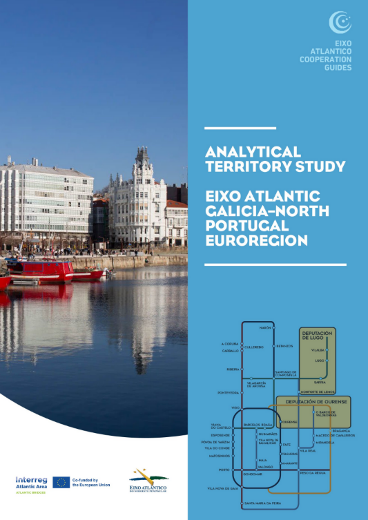
Eixo Atlantico’s
territorial analysis
A highly maritime region where ports, fisheries, industry and coastal communities play a central role in the territorial economy and its transition.
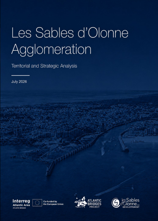
SEM LSOD’s
territorial analysis
A coastal territory combining a strong maritime economy, tourism and growing pressures linked to climate change, water resources and land use.
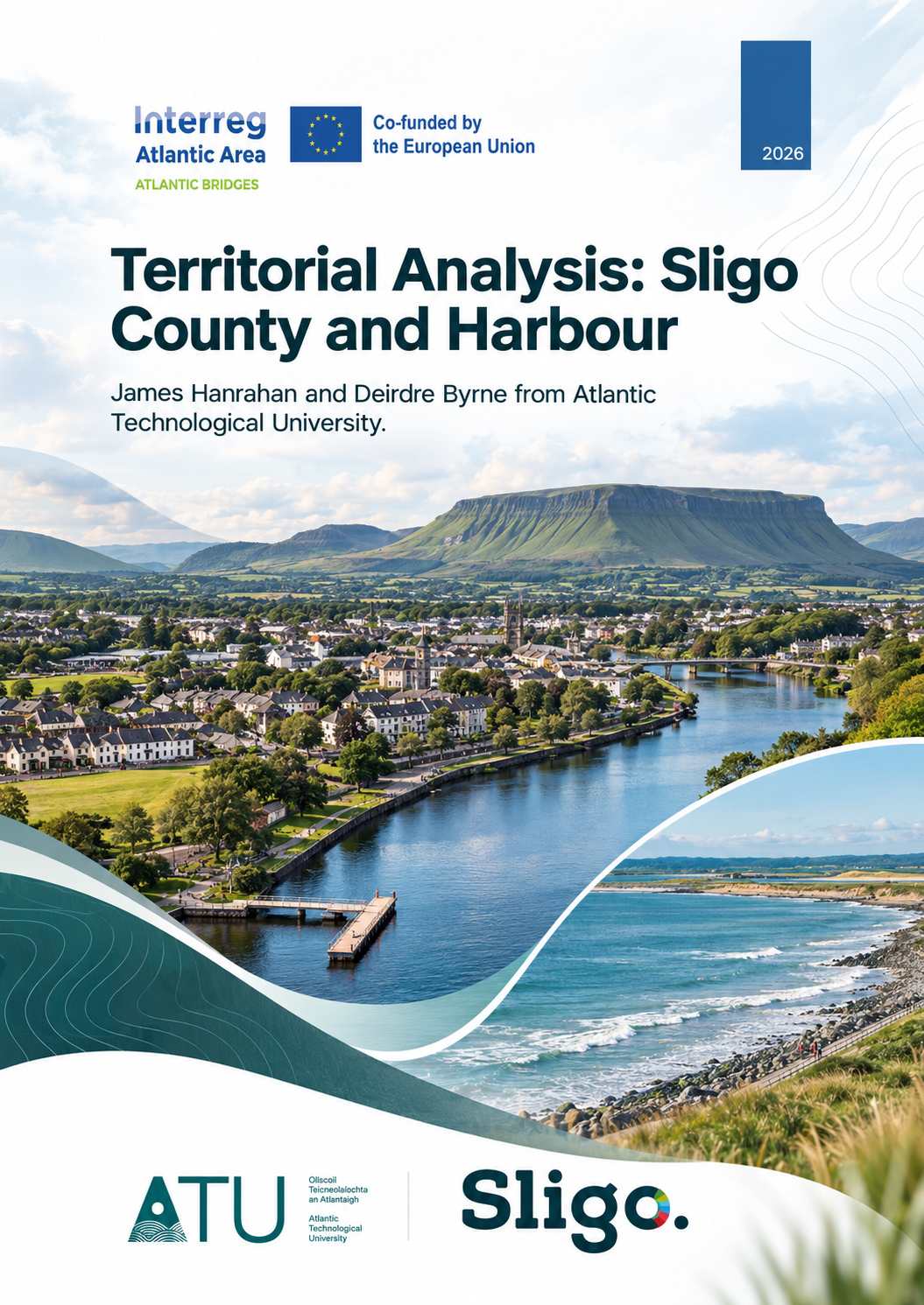
ATU’s
territorial analysis
A smaller Atlantic territory where coastal communities, tourism and local economic development depend on links between land and sea.
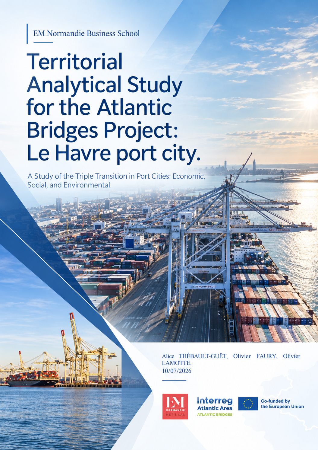
EM Normandie’s territorial analysis
A major port and industrial territory facing the challenge of reconciling economic development, decarbonisation and sustainable coastal planning.
Figueira da Foz territorial analysis
A dynamic coastal territory shaped by its lagoon,
port activities, tourism,
and the need to balance economic growth with environmental resilience.
Different realities, shared Atlantic challenges
Taken together, the five analyses confirm that Atlantic territories do not face one single transition, but several interconnected ones. Climate resilience, the future of the blue economy, demographic change, mobility, housing and the relationship between ports, cities and coastal environments all appear in different forms across the partnership.
These differences are precisely what make comparison useful: they help identify where experiences, solutions and good practices can be shared.
From Territorial Analyses to a common Strategic Framework
The Territorial Analyses are therefore not an end in themselves. They now provide the common evidence base for the next phase of Atlantic Bridges: comparing the five territories, identifying shared priorities and building a common Strategic Framework. This framework will then guide the development of local actions and pilot projects in each partner territory.
Leave a Reply